
In brief
Typhoon Usagi, a powerful storm analogous to a Category 4 hurricane, is anticipated to bring heavy flooding and landslides to the Philippines as it heads toward landfall.
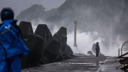
Typhoon Usagi, known locally as Ofel, is intensifying as it approaches the Philippines, with meteorologists comparing its strength to that of a Category 4 hurricane. On Thursday, the storm was reported to have sustained winds reaching 150 miles per hour, prompting urgent warnings from authorities about the potential for severe flooding and landslides, especially in the northern regions of Luzon. This marks the fifth significant storm to impact the country in just three weeks, following Typhoons Toraji, Trami, Yinxing, and Kong-rey, which collectively resulted in over 100 fatalities and extensive damage. Unusually, four tropical storms were recorded simultaneously in the South China Sea and the North Pacific this month, a first since meteorological records began. As Usagi nears, forecasters predict that northeastern Luzon could experience more than eight inches of rain, with PAGASA (Philippine Atmospheric, Geophysical and Astronomical Services Administration) also warning of possible storm surges of up to three meters (nearly 10 feet). The storm is expected to make landfall in the north of Luzon on Thursday afternoon. Following its passage over the Philippines, Typhoon Usagi is projected to move toward Taiwan, which has already issued sea typhoon warnings. The ongoing series of typhoons has severely strained the Philippines' disaster relief capabilities, and the United Nations has allocated $3.5 million in humanitarian aid to support recovery efforts. Gustavo Gonzalez, who oversees U.N. humanitarian operations in the country, expressed the urgency of the situation, stating, “Typhoons are overlapping. As soon as communities attempt to recover from the shock, the next tropical storm is already hitting them again.”