In brief
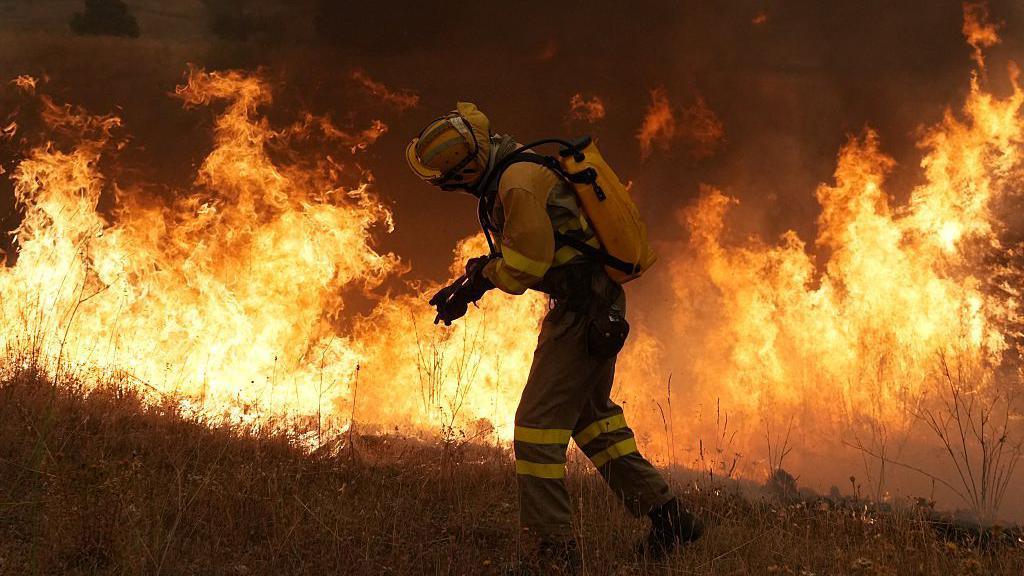
Australia is turning to a fusion of high‑tech tools and Indigenous ecological knowledge to fight bushfires. Research at the Bushfire Research Centre of Excellence has linked satellite fuel‑moisture maps with on‑ground insights from experienced Indigenous fire practitioners. The partnership ensures that the data is translated into meaningful action, enabling communities to predict flare‑up zones before they ignite. As a super‑El Nino season looms, the integration shows how science and tradition can strengthen resilience across fire‑prone landscapes.
Australia’s bushfire devastation in 2019–20, dubbed the Black Summer, was a catalyst for the Bushfire Research Centre of Excellence. The centre now collaborates with Indigenous elders and seasoned fire crews to weave ancient land‑management practices into modern predictive systems. Satellite images, particularly the fuel‑moisture index, pinpoint potential hotspots while drones provide real‑time frontline reconnaissance. Indigenous fire listeners – whose skills are honed over millennia – translate the data into actionable insights, such as where a controlled burn will stay under control or where a back‑burn might halt a foot‑sized flame.
Cyberspace offers data, but the stories of the land, the scent of dry bark, the song of wind‑blown leaves – these are encoded in Indigenous traditions. When modern science meets that lived‑experience, the result is a comprehensive fire‑risk map that migrates from outer‑space imagery to underground soil composition. The combination has already proven its worth, with regional authorities forecasting more intense fire seasons under a looming super‑El Nino. Early detection and responsive burn plans are the new mantra for a country that has become literally accustomed to burning.
Learning from Australia, global fire‑prone regions are beginning to adopt cultural burning – small, deliberate fires that reduce fuel load. The spread of prescribed burn techniques is echoing in Europe and Canada, while Australian specialists fly international flights re‑enforcing best practices. Those who wrestle fire now recognise a shared global knowledge base, the use of drones for rapid situational awareness, and the need for cooperative transnational fire‑response networks. In a world where landscapes that never burned before are now experiencing unprecedented heatwaves, this hybrid strategy could be a model for the planet’s next fire season.